The Dartmoor Way
A BikePacking Adventure
The Dartmoor Way Cycle Route is described as "a 95 mile-long circular route which winds its way around the natural beauty of Dartmoor National Park, linking hamlets, villages and towns along its length."
In brief this is pretty accurate, but in reality it's a punishing, challenge, of confusing country lanes, tough terrain, through pleasant points of interest, picturesque towns and 152kms of horrendously hilly, reasonable signposted cycle network across the beautiful craggy Dartmoor with it's unpredictable weather and overwhelming landscape.
The Dartmoor Way encompasses a circular route that can be joined at any point and followed in either direction, though i am told the hills are more forgiving in an anticlockwise direction. Still with nearly 2000m of elevation, it's quite the ride whichever way you go.
How long
At 152km long, the way is certainly achievable in a day. For those comfortable in the saddle and looking for a challenge, the ride can take most of a day, with occasional stops and favourable riding.
For anyone wanting to make a longer adventure out of the ride, the Dartmoor Way can certainly be tackled over 2 or more days. Bikepacking with a tent and camping gear, Dartmoor is wonderful for Wild Camping at many points along the route, Belstone has some fabulous views. If roughing it isn't your style, there are plenty of B&Bs or campsites around the way, but recommended to plan ahead!
I cycled along the way as 3rd of a 4 day bike packing adventure, reaching the way, slightly earlier than I expected and managed to get an hour or so around it, finishing off the ride after that. I carried cooking equipment, a tent and sleeping setup, wild camped on the moor and cycled off along the Way in the morning.
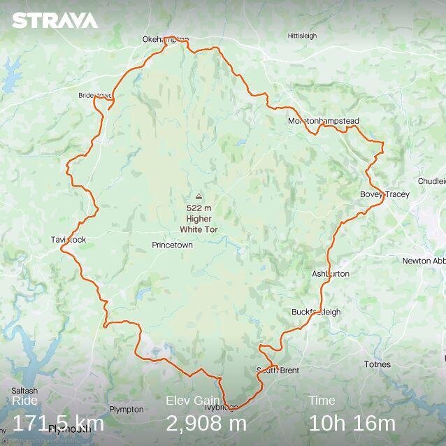
If it's not on Strava, it didn't happen, I logged just over 10 hours of moving time, and slightly further than the 152kms because there was a section I enjoyed so much I rode it twice, not that I got lost and confused or anything.
Navigation
The Dartmoor Way for the most part is well signposted with the reassuring signposts easily spottable along most of its length. Though if you've cycled anywhere on a National Cycle Network route, you'll know it doesn't take long for these to become overgrown, bumped to lead the wrong direction, or taken out completely by a tractor.
The signs were great to know are still on route and an easy method of navigation, when you can find them. For turns in the road, and sign posts that aren't obvious, having a map of the route is a must. You could print them out online, and I imagine there's one you could purchase somewhere.
When I rode the Way, I used a Navigation app, such as GPXViewer or View Ranger and saved the GPX file which can be found HERE. This makes navigation much easier, seeing your exact location on a line you need to follow certainly is reassuring. All modern GPS navigation devices allow you to upload this, and make directions a breeze.
Roads and What to Ride
The Dartmoor Way is described as "70 % on road & tarmac. The majority of the off road sections being a gravelled cycle track surface. There is one stretch that is quite rough and could be muddy when wet." which is accurate, I suppose. The terrain in reality is much more rugged, picturesque back country lanes, that are certainly less travelled and less maintained in many areas.
Now avoiding potholes when going slowly up hill isn't too bad and the route can be quite forgiving. Though coming down the other side of the hillock can often be less rewarding than it should be with more time spent squeezing brakes to meander around holy ground.
The rest of the way is made up of mostly roads of varying quality, tarmac cycle paths, and the occasional gravel bridleway. My road bike made it round most of the route, if occasionally slowly over some gravel tracks. I recall walking the bike through a particular rocky and rooty section that wouldn't have been out of place on a MTB trail run.
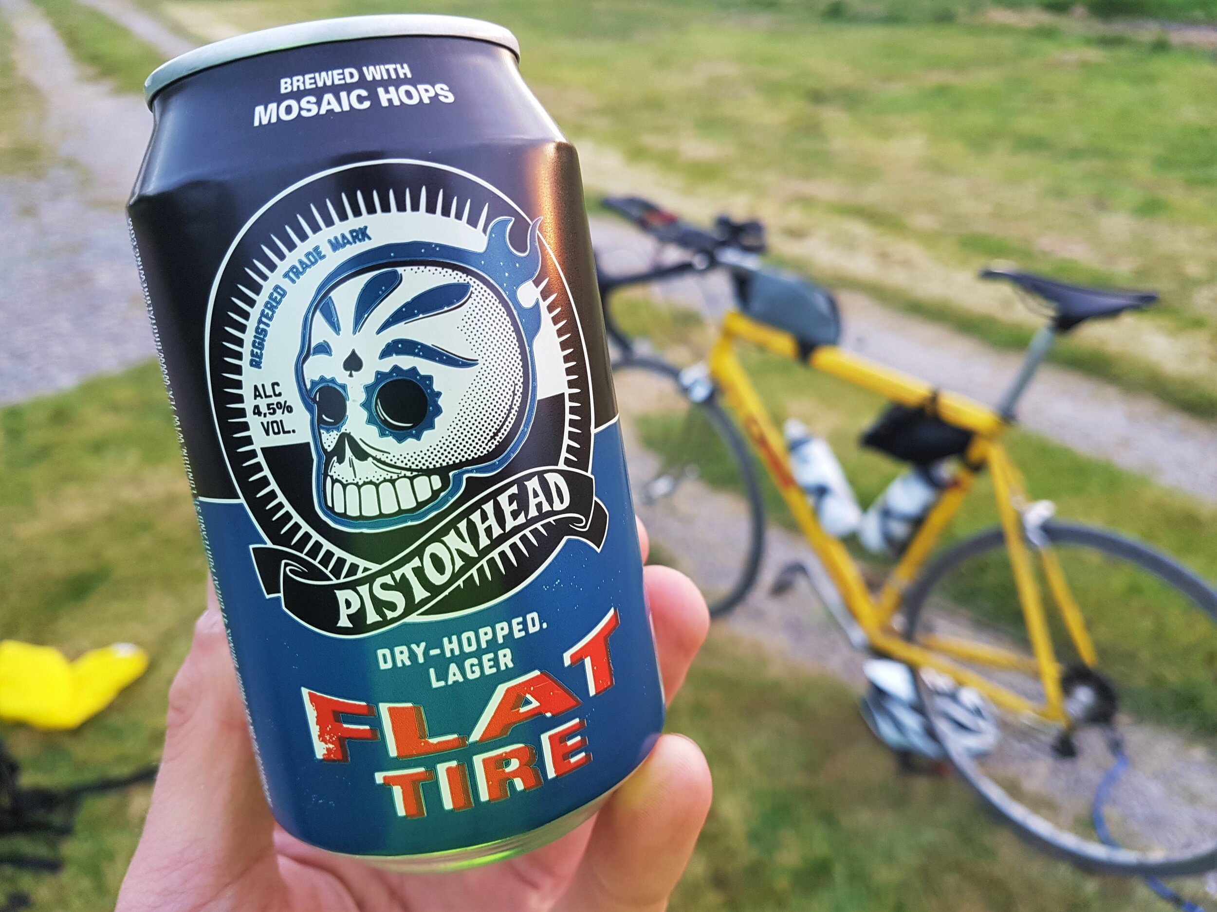
I rode the way on my old school yellow road bike, rolling on 25mm tyres with caliper brakes and a 14 speed compact chainset. I certainly made it round and proves that anyone on any bike can certainly do the same. Though if I was to do it again, I'd be certainly interested in at least 28-30mm tyres, disk brakes and a triple chainset, because the lowest gear will be much appreciated at the end of the day, hauling camping equipment.
Stops and Supplies
As the way leads to from one pretty hamlet to the next country town, there is an abundance of places to stop and refuel, either from quaint coffee shops or local conveniences. Highlights including coffee and pastries in Okehampton, a good breakfast had here. The bustling market town of Tavistock, with excellent local markets and easy rolling cycle paths back onto the Moor, this was my favourite part of the ride.
Most places will be happy to fill up water bottles for you, but always worth carrying at least some snacks or supplies for the top of hills and impromptu stops.
Highlights
The way is incredible and I'd recommend it to all. For me, being out on the open moorland reminded me of the times i had spent walking as part of 10 tors. This magic and awe came rushing back and was exhilarating camping again at Belstone, on what felt like the top of the world.
I really enjoyed the Okehampton and Tavistock, indulging in local treats to see me through to the next one.
With the option of a clockwise route and the highland link, I'll certainly be back soon for another adventure!